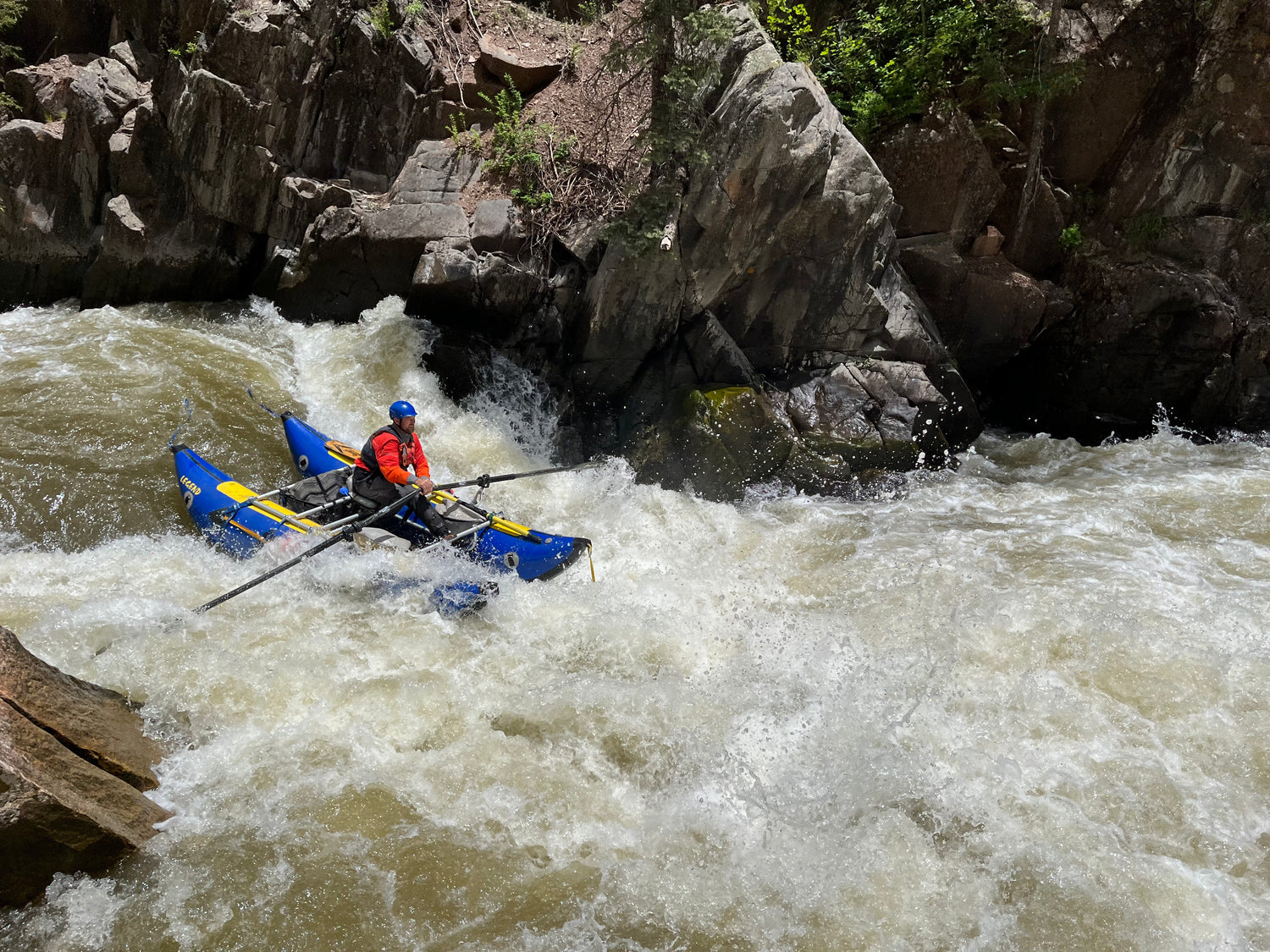
Near Pagosa Springs, CO
Piedra River
The Piedra is located about as far south in Colorado as one can go. It flows south out of the San Juan Mountains to join the San Juan River to form Lake Navajo. This river offers exceptionally beautiful and varied wild trout fishing for large fish combined with a long and interesting Class IV whitewater run. Uncrowded and remote it is a high mountain gem. Running early in spring the window for river runners can be short. Like the Animas, the Piedra is cold with a high altitude put-in. This run is mostly a forested journey with beautiful scenery. Be aware that the Piedra flows early. It usually peaks during the second half of May. The gauge can be deceiving, especially early in the season, since it is below the takeout and several other tributaries. We recommend a minimum of 800-1000 cfs on the gauge early in the season.
-
Sections
- Second Box (Upper Canyon)
- First Box (Lower Canyon)
- Below both Boxes
-
Road Status
- Forest Service Rd. #622 (First Fork Road), this is the road for the shorter run from Hunters Campground.
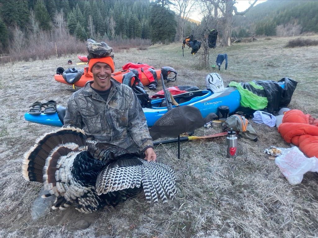
Class II-IV
Second Box (Upper Canyon)
Groups choosing to paddle the river in May must occasionally run both sections from the Piedra Road Bridge to the take out a mile above hwy. 160. At nearly 20 miles this makes for one long day or two shorter days. Rafters beware of the limestone riverbed. There are significant IV/V drops, but also a lot of Class II splashers. The gorges are named backward from how you will float thru them. The Second Box (which is the first canyon you will float thru if you run the upper section) is class III and IV. Lone Pine and Limestone rapids are the notable drops in this section, which come just before you hit the end of the Second Box (about a mile or two above the First Fork Bridge). Lone Pine often has wood and has been the site of several entrapment drownings, so be sure to scout this one.
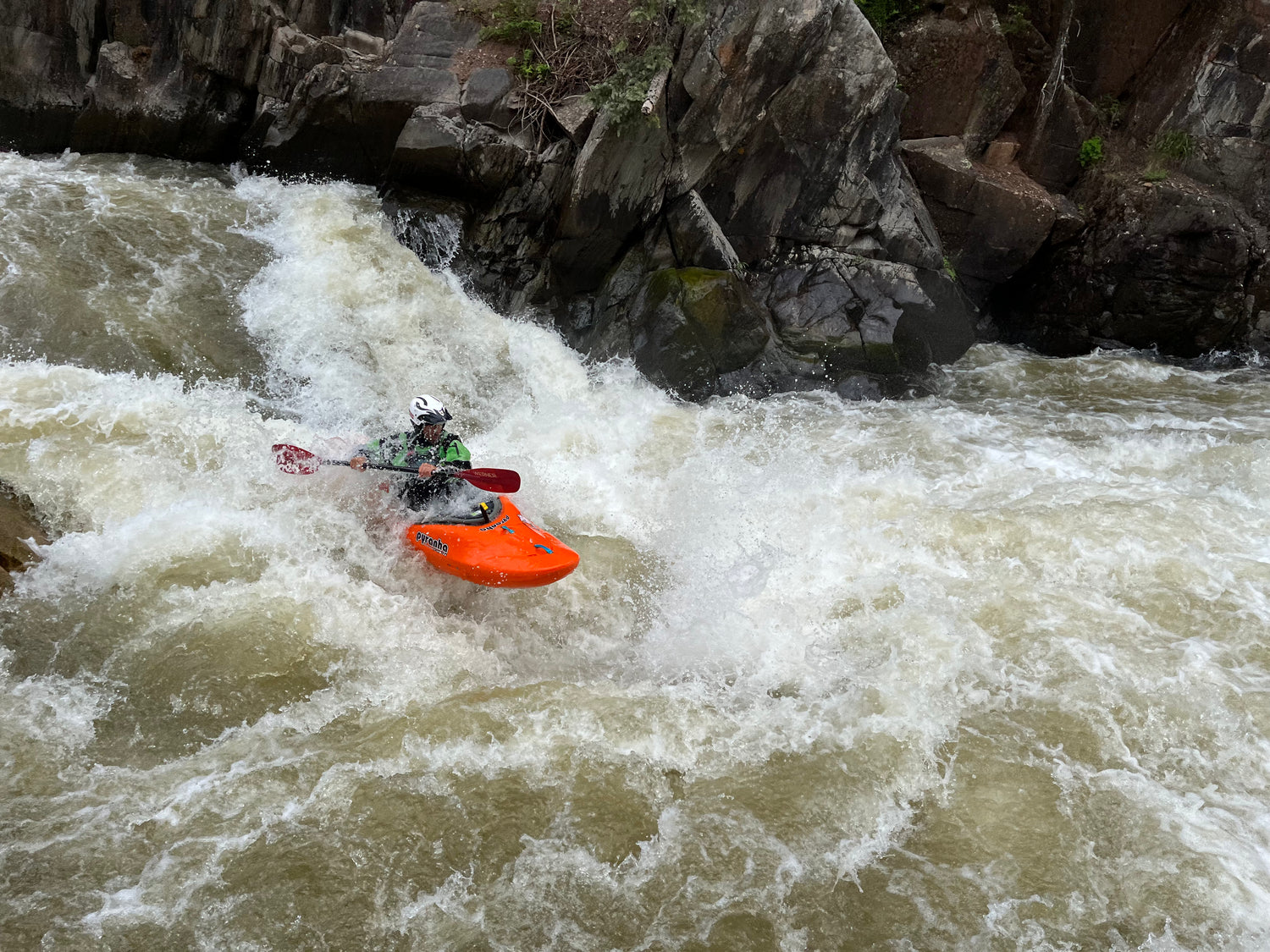
Class III-IV+
First Box (Lower Canyon)
The First Box section (which is actually the lower gorge, below the Second Box and the First Fork Bridge) is more committing and the whitewater is rated a full grade higher. The road to the bridge often does not open until mid May, forcing you to run the Second Box (upper) Canyon. If the road is open, you can put on at the bridge and get more immediate access to the First Box section. Once you drop in below the bridge, you’re committed to running the rest of the box, which contains 6 Class III+ to IV+ Rapids. The section immediately below the bridge starts out with some splashy Class III before you quickly arrive Piedra Falls (Class IV). After a few more III-IV rapids, you’ll arrive at Mudslide Rapid. There are several lines here, but most will choose far left. Beware of a nasty pin rock in the middle of this rapid at flows below 1000. Scout is on the right. Beware of Poison Ivy. Beware that the biggest drop of the run is just below this, so consider setting safety.
Below Mudslide, there is a short calm before reaching Eye of the Needle. Eye is the biggest drop of the run, and though it has lost its bite over the years, it is still a formidable rapid. Scout or portage river right, again being careful of the poison ivy. Be sure to scout the run-out (Lucifers) as well, which often has wood, especially in the left channel. It is best to run Lucifers on the left side of the right channel, hugging the island. Beware of the small sieve at the very top of the island (a non-issue for most, but good to know its there).
Below Eye / Lucifers, the gorge ends and the river mellows to active Class III-III+. Be heads up for wood (as always on this run) and a few defined rapids between the splashers. There are hot springs on river left about a mile and a half below Lucifers. If the river is high, these will probably be washed out.
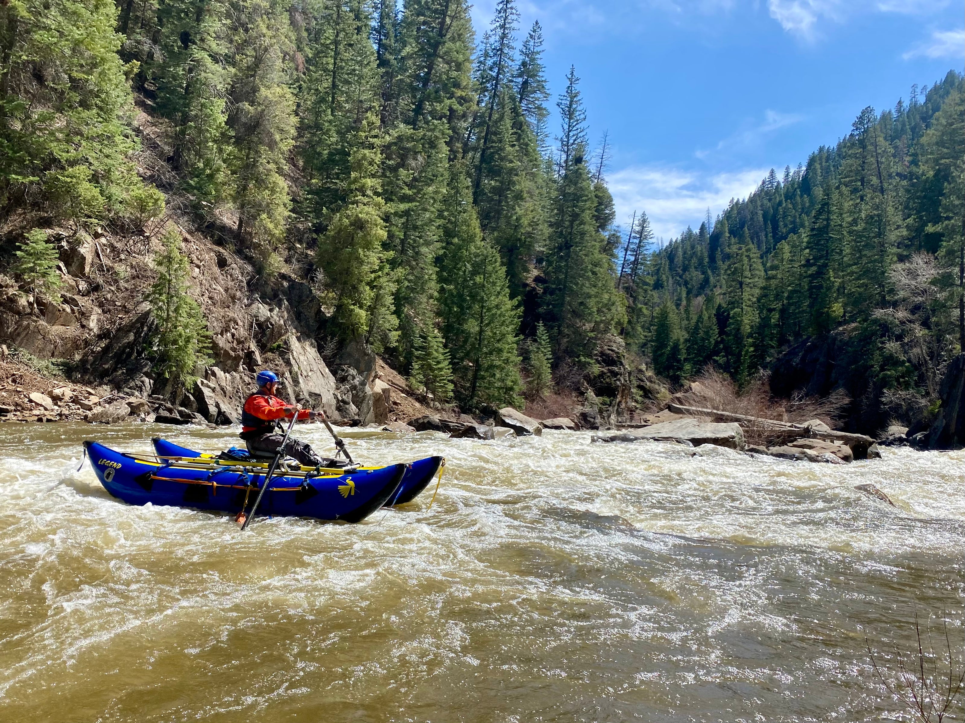
Directions
-
First Box (Lower Canyon)
From Durango travel U.S. 160 east 40 miles. Cross the Piedra River and turn left up FR #622 (First Fork Road at Sheep Creek Gate). Drive about one mile to the takeout parking area on the left. Get to the put-in by continuing up First Fork Road about 10 miles to Hunters Campground.
-
Second Box (Upper Canyon)
To paddle both boxes, after leaving the takeout head eastbound on U.S. 160 to Pagosa Springs, go just past the Pagosa Golf Course to top of hill and turn left at the Fina Station. Drive 16 miles up Piedra Road (FR 631) to the Piedra Bridge. Put-in at Campground.
-
Below both Boxes
There is a Class II-III run from the normal take-out down to Navajo Lake (south of U.S. 160). This section is more open than the canyon sections, through ranch land and has great fishing. However, be VERY CAREFUL (especially early in the season) as many ranchers illegally string barbed wire fences across the river. The take-out for this lower stretch is just north of Arboles on river left.
